|
(Note: red dots on map are Rio Desaguadero valley drill sites) |
The Altiplano of Peru and Bolivia, is an internally drained closed basin situated between the western and eastern Cordilleras in the central Andes. It extends from 16 to 22 degrees S latitude and 65 to 69 degrees W longitude and has an average elevation of 4000 m above sea level. The northern and centralpoortions of the Altiplano are occupied by two large, [permanent lakes: Lake Titicaca and L:ago Poopo. The more arid central and southern region contains the great salars (salt pans), Coipasa and Uyuni. Lake Titicaca, in the northern portion of the basin, lies at 3810 m above sea level. It is fed by rivers that drain the western Andes and the glaciers and snowfields of the Cordillera Real and the Cordillera Apolobamba, to the north. The lake's only outlet is the Rio Desaguadero. The Desaguadero flows south into Lake Poopo. Our most recent research has been concentrated in the Rio Desaguadero and Ilave valleys, where we have investigated fluvial response to changing Lake Titicaca water levels.
|
Map & Longitudinal Profile of the Rio Desaguadero Valley

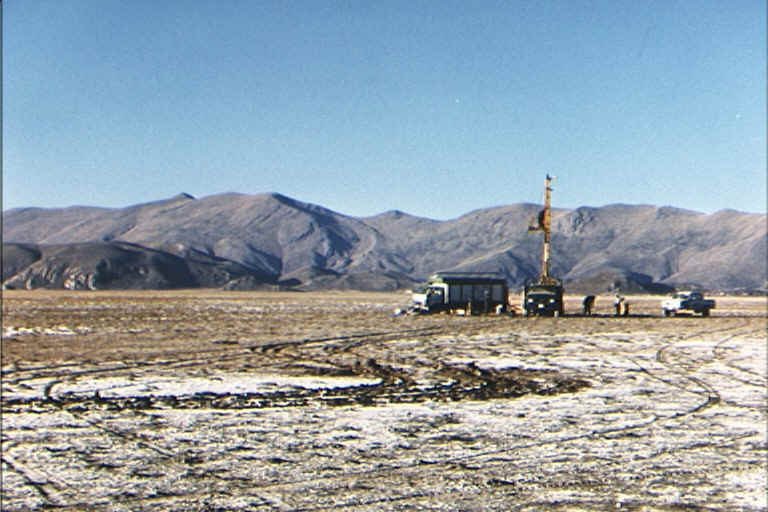
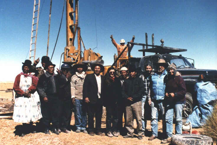
Drill and glacial valley rig at the Huana Khaua drill site.


